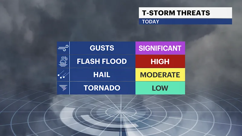
Flooding and strong gusts are primary hazards for storms today
Midday sunshine can enhance a thunderstorm squall toward sunset to produce damaging conditions.
More Stories


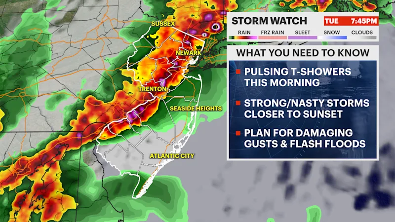
Storms will pop-up today and move across the state with downpours and strong winds.
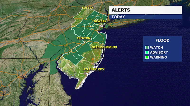
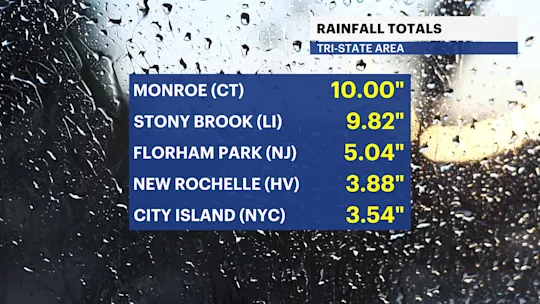
A Flash flood Watch is in effect for parts of the state as heavy rain is expected to create flash flooding through the late morning, afternoon, and evening. Downpours can leave rainfall totals upwards 3" or more. Storms will be training, causing pulsing downpour behavior that will be problematic for travel.
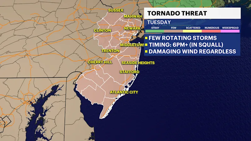
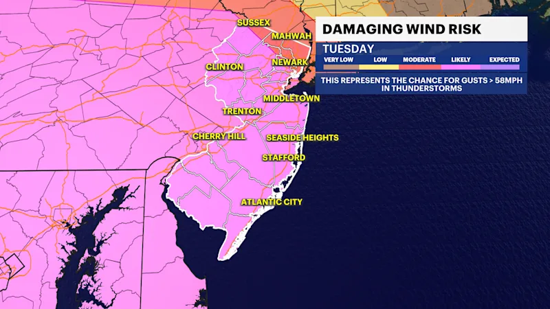
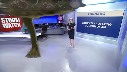
Two fronts pass through New Jersey today. A warm front comes from the south to push these morning downpours, some capable of damaging winds and not just flooding. Then a cold front pushes a squall from the west this evening, arriving near 5-8 p.m. from northwest to southeast inducing a risk for straight line winds and a few tornadoes. There is a hail threat, too.
Storms will be strong if there is a break of midday sunshine. This adds fuel to any developing storm system. Excess clouds will stint storm development, which is possible at the top of the state today.