Muggy weekend with dangerous rip currents expected on Long Island
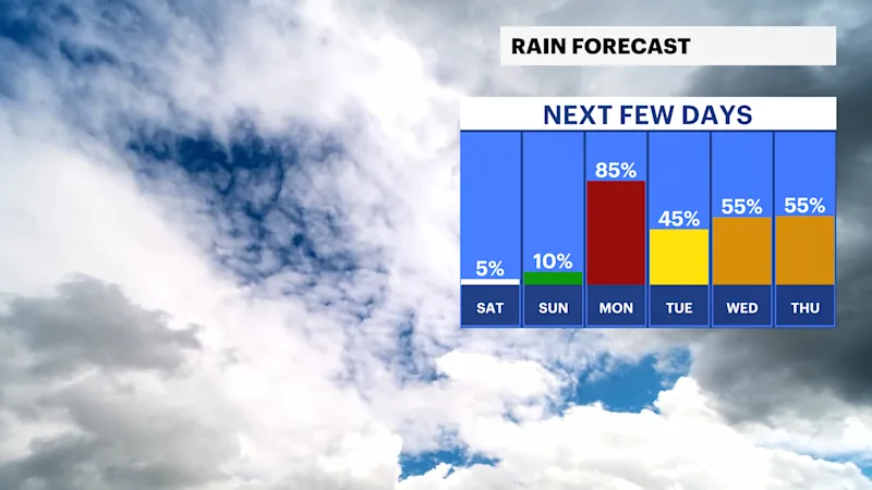
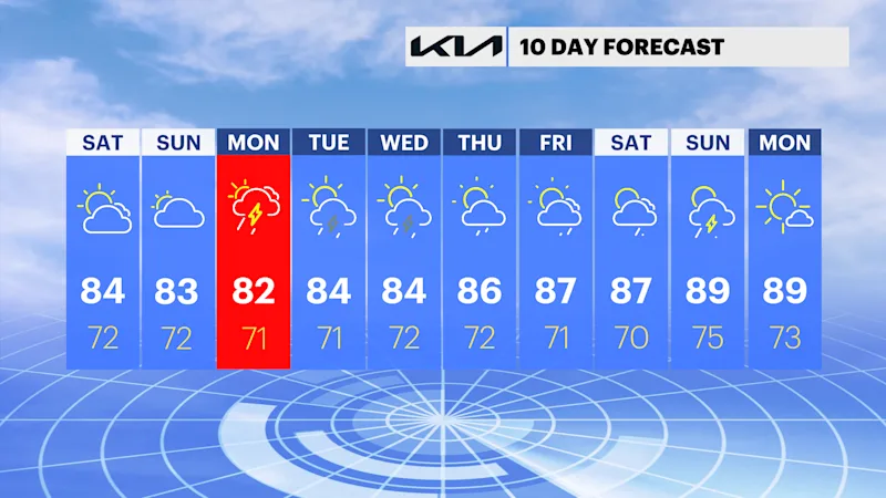
The weekend is muggy but mostly dry. with more clouds than sun, but heavy rain will return on Monday.
More Stories


High risk for rip currents
The National Weather Service has upgraded the risk for rip currents to high for all Atlantic facing beaches today, with multiple reports of rescues on Friday. Swell heights will be 3-4 feet today with a strong south wind at 10-20 mph in the afternoon. The rip current risk on Sunday is high to moderate with slightly lower swell heights.
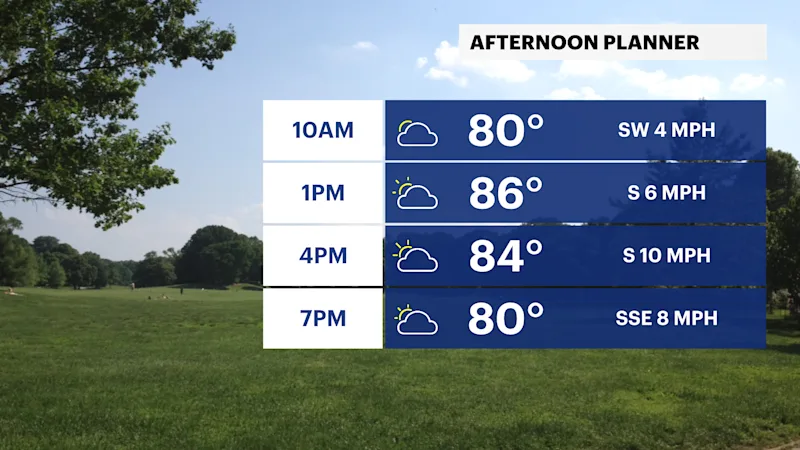
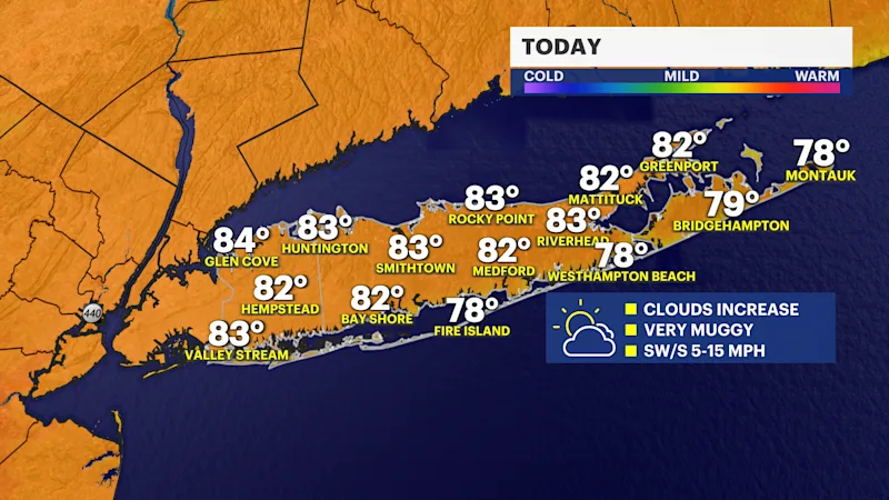
Some Saturday sunshine
Today will be the better weekend day. There will be a mix of sun and clouds, with temperatures in the mid-80s, and it will be humid. There is a chance for one or 2 stray showers in the afternoon.
Cloudier Sunday, but rain holds off
Sunday is mostly cloudy. There is the chance for a spotty rain shower in the afternoon and evening, but most of the day is dry until late Sunday night. High temperatures will be in the low 80s and you will still feel the high humidity.
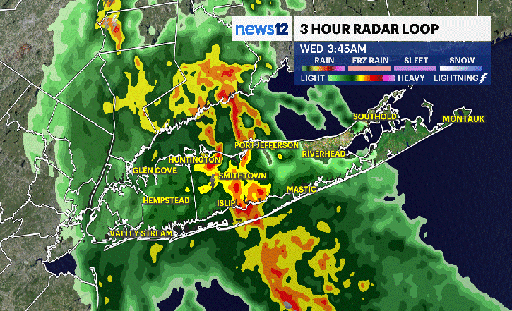
Messy for Monday
Heavy rain is expected overnight Sunday into Monday. There is a risk for flash flooding with some thunderstorms. Expect generally cloudy skies with highs near 80.
Daily downpours next week
Hot and humid weather is expected next week with a daily chance for rain, but it will not be a washout.