Pleasant start to the work week before heat builds on Long Island
Comfortable Monday gives way to increasing heat and humidity by the weekend.
More Stories


WHAT TO KNOW
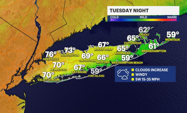
Skies will be clear overnight with comfortable conditions settling in. Monday will be remarkably pleasant, featuring sunshine, low humidity and afternoon temperatures around 80 or slightly cooler along the coast. It will be an excellent day to get outside and enjoy the weather.
BOAT AND BEACH FORECAST
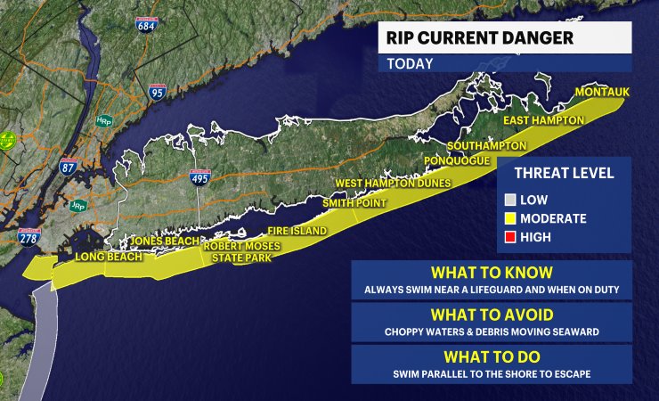
Marine conditions have improved with the small craft advisory no longer in effect for the Long Island Sound and Atlantic-facing waters. Wave heights remain around 4 feet along the ocean beaches and near 1 foot on the Sound. A low risk for rip currents is expected on Monday, though beachgoers should continue to exercise caution and swim near lifeguards.
THE WEEK AHEAD
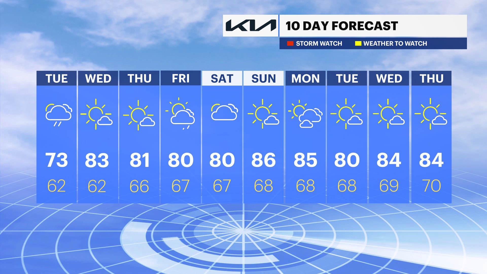
Dry weather is expected to dominate much of the work week as temperatures gradually warm each day. Highs will climb through the 80s by the middle of the week while humidity levels remain relatively comfortable.
Summer-like heat and humidity will return by late week. High temperatures on Friday and Saturday may approach 90 in some communities, particularly away from the immediate coastline. Unlike inland areas, a heat wave appears less likely on Long Island due to the moderating influence of ocean breezes, though it will still feel noticeably warmer and more humid.
There will also be a chance for scattered showers and thunderstorms late in the week and into the weekend. While the forecast does not point to a washout, residents should keep an eye on the forecast for updates regarding the timing of any rain and storm chances.