It's hurricane season. But where are all the storms?
The reason for a more active hurricane season is a La Niña pattern developing in the coming months.
More Stories
NOAA predicts a very high likelihood (85% chance) of an above-normal Atlantic hurricane season with 17-25 named storms, 8-13 hurricanes and 4-7 major hurricanes.
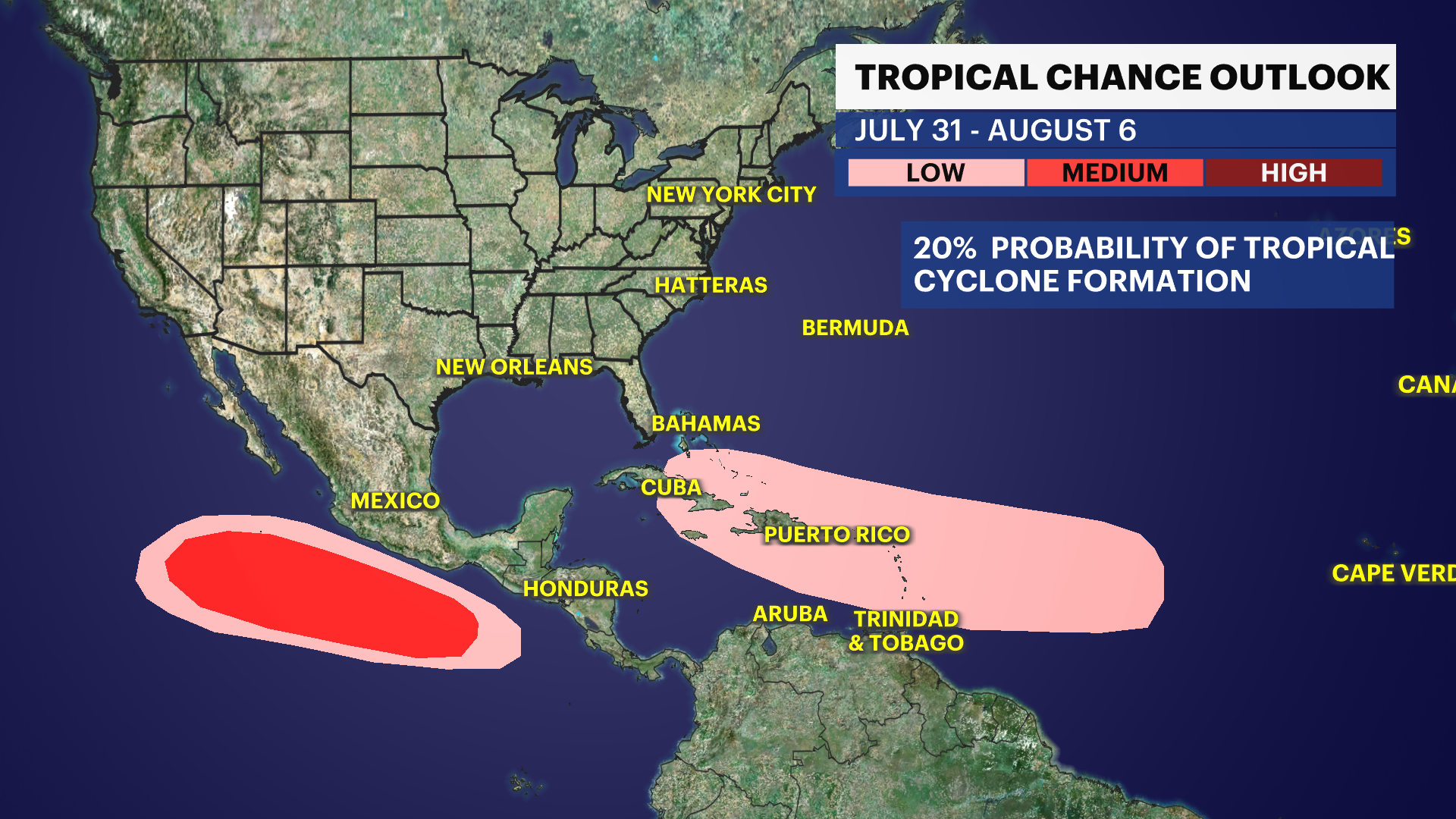
The reason for a more active hurricane season is a La Niña pattern developing in the coming months. A mature La Niña brings weaker tropical Atlantic trade winds, well above-normal Atlantic sea-surface temperatures, and an active west African Monsoon pattern.
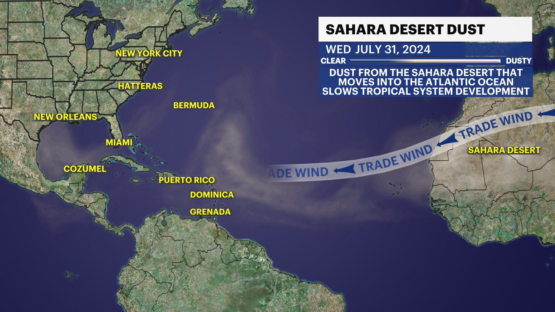
A plume of dust and dry air off the coast of Africa is traveling thousands of miles across the Atlantic Ocean, inhibiting any storms from forming. This mass amount of dust and dry air is called the Saharan air layer. Strong low level winds in the atmosphere from the coast of Africa (African easterly jet stream) transports the Saharan air layer to Florida and sometimes extends to portions of western Texas. According to NOAA, the dust from the Saharan desert typically forms in the late spring and moves into the tropical Atlantic every three to five days.
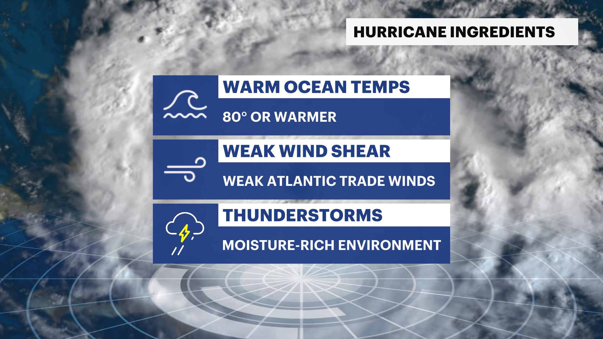
Hurricanes need three main ingredients to form and grow: warm ocean temperatures of 80 degrees or warmer, a moisture-rich environment and weak vertical wind shear. The Saharan air layer peaks in late June and starts to diminish mid August. In fact, the peak of hurricane season is between August and October.

