Cold and windy Sunday in the Hudson Valley; tracking snow chances
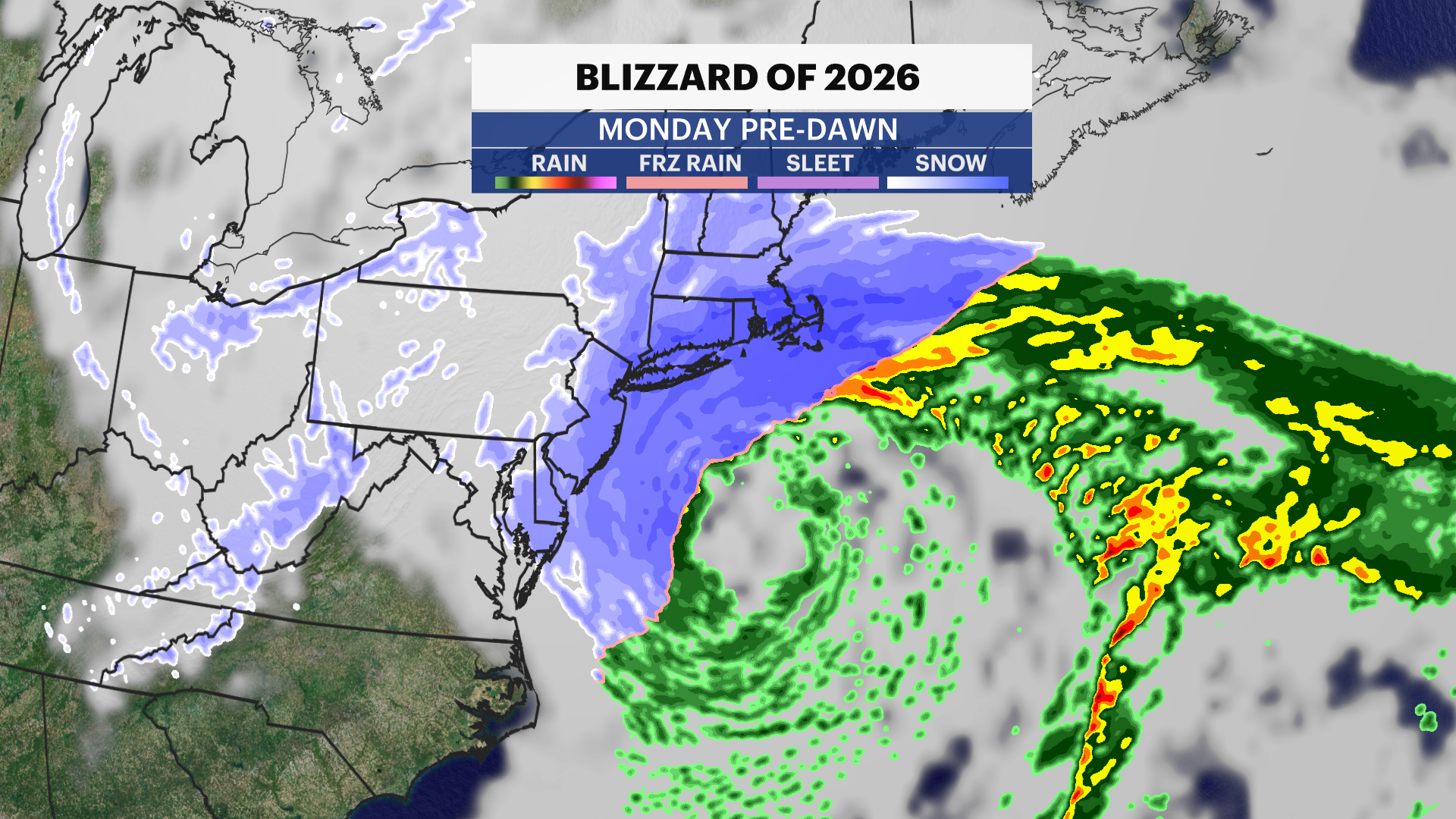
The News 12 Storm Watch Team says the storm moves out by mid-morning. It will be getting noticeably colder throughout the day. Overnight temperatures will drop to below freezing.
More Stories

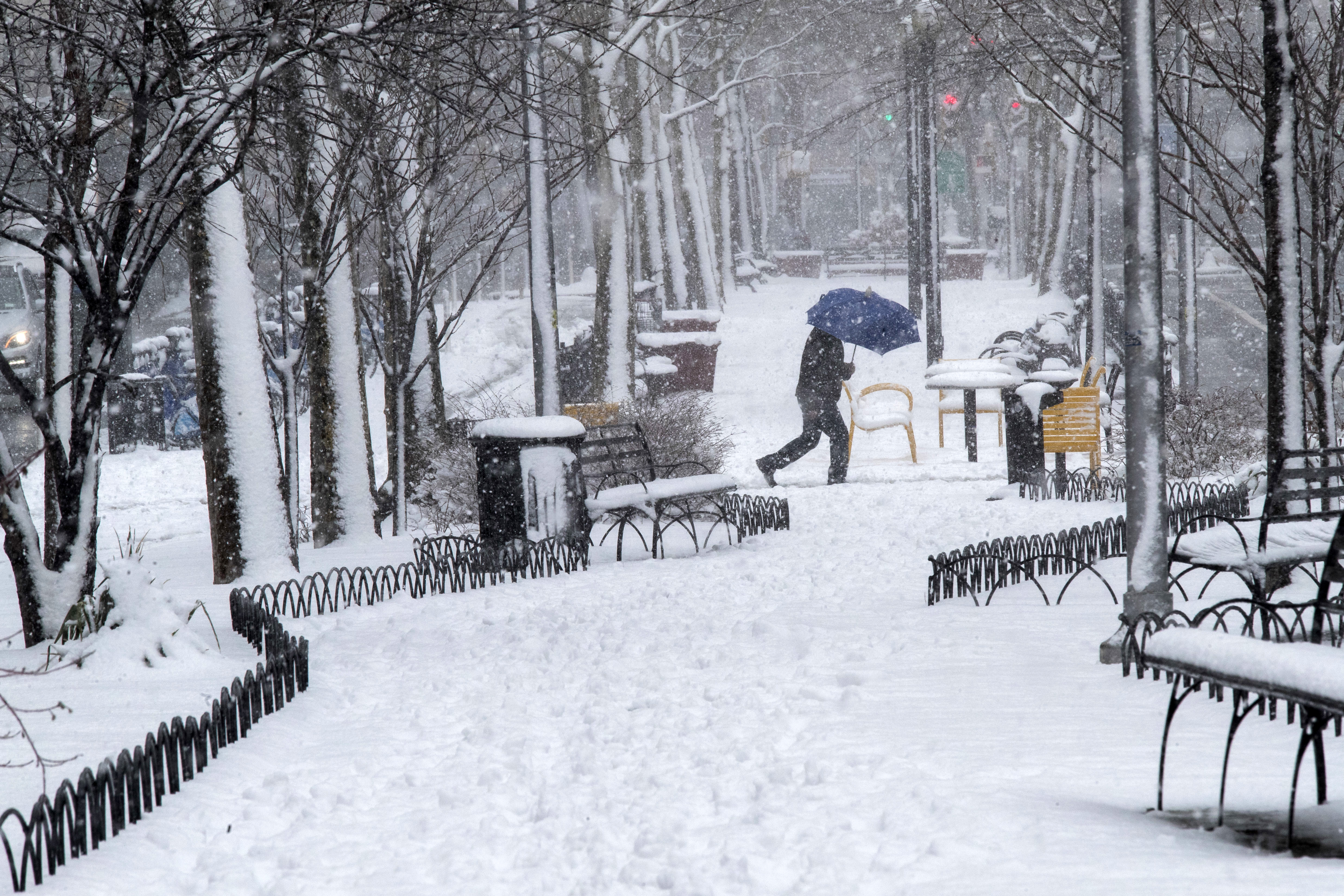
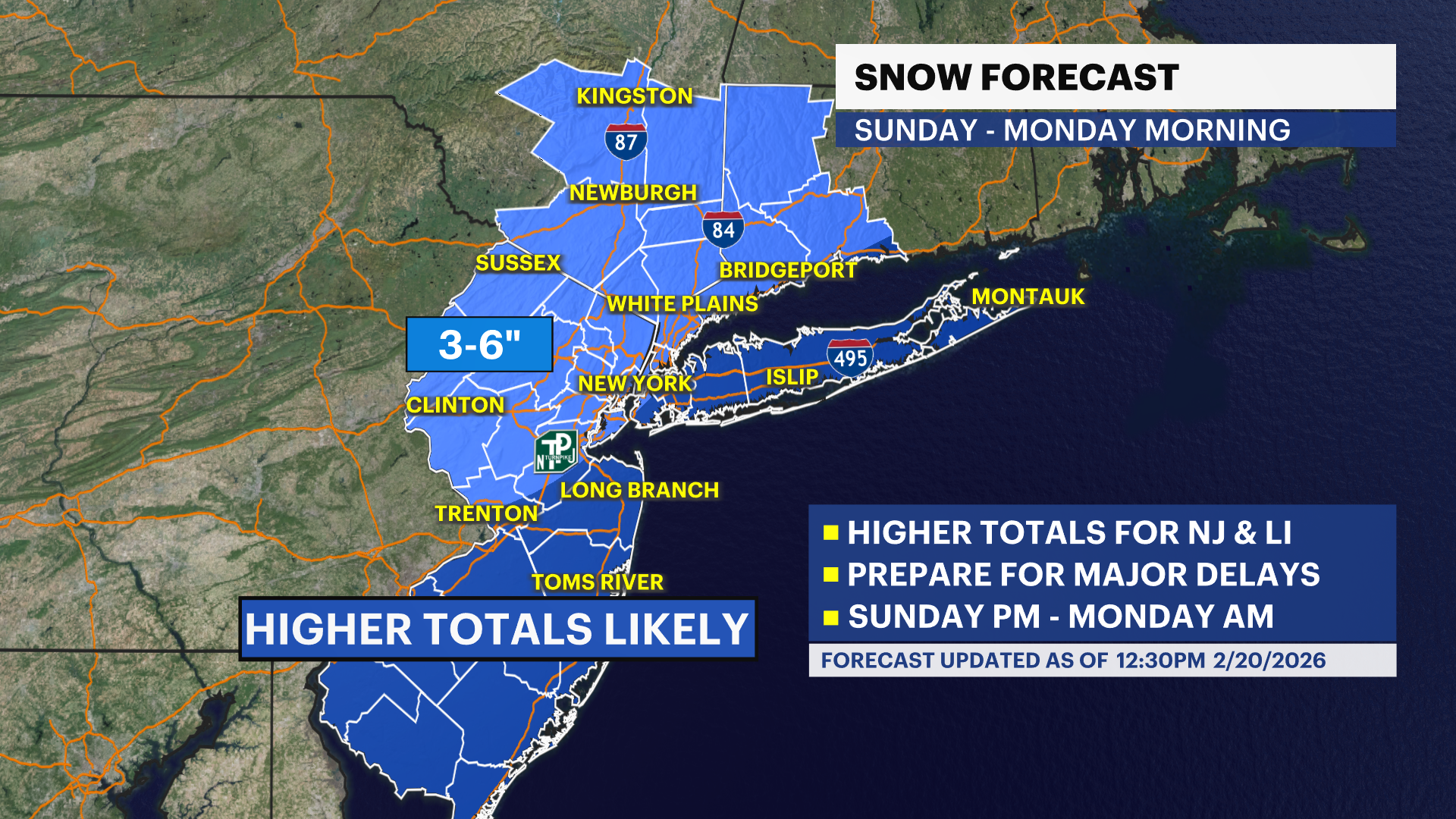
Storm Watch Team Meteorologist Julian Seawright says cold, wind and snow will be impacting the Hudson Valley in the days ahead.
WHAT YOU NEED TO KNOW:
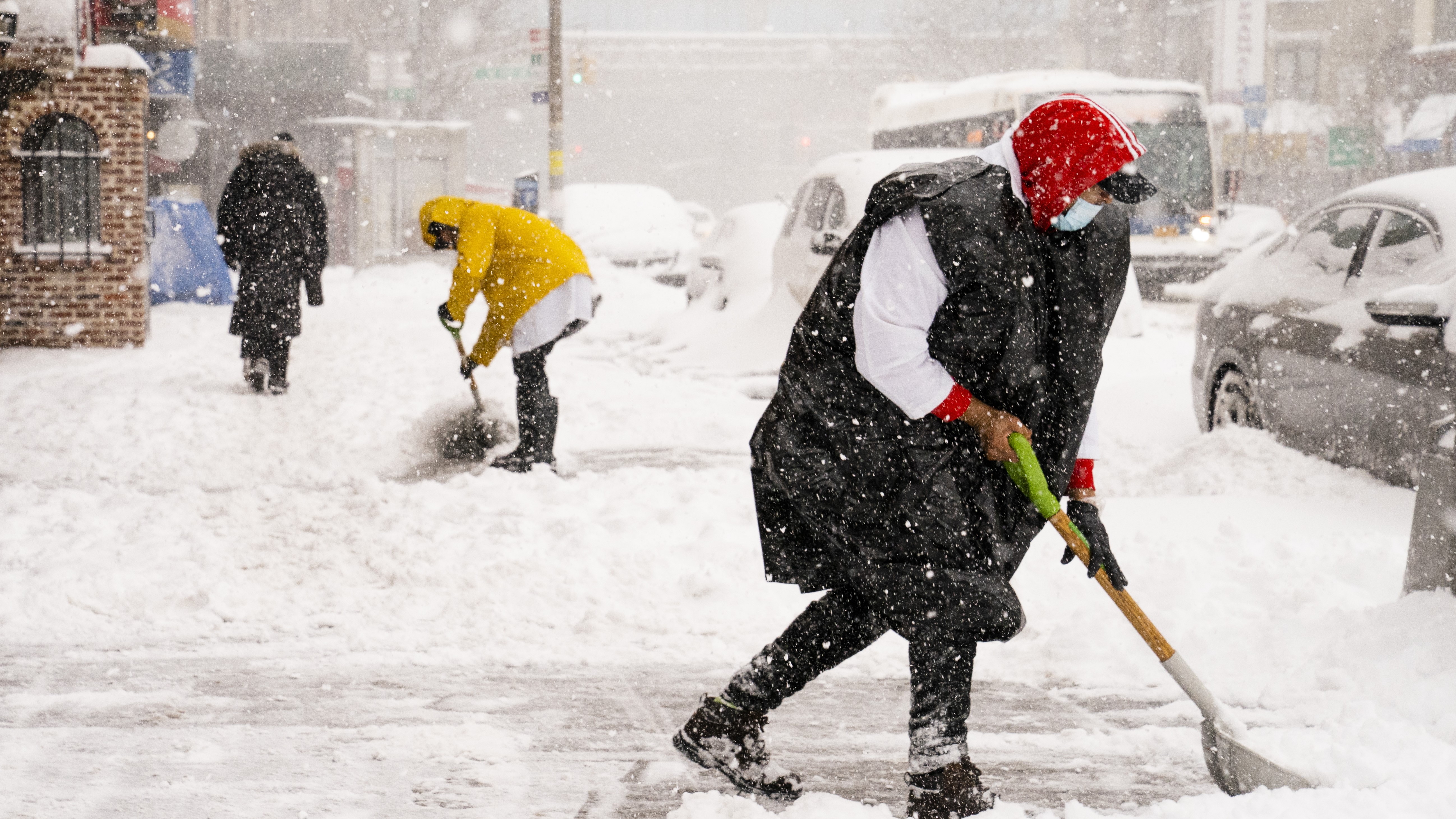
Brief snow showers expected Sunday.
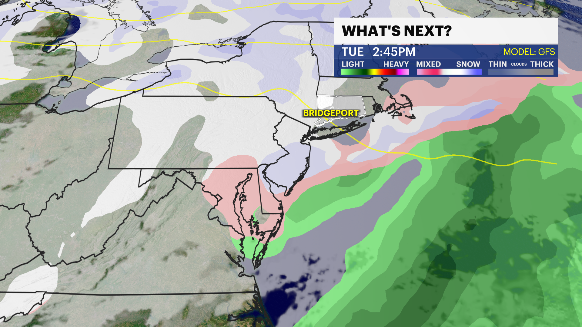
Tracking the possibility of snow Tuesday/Wednesday.
Windy Sunday. Breezy Monday.
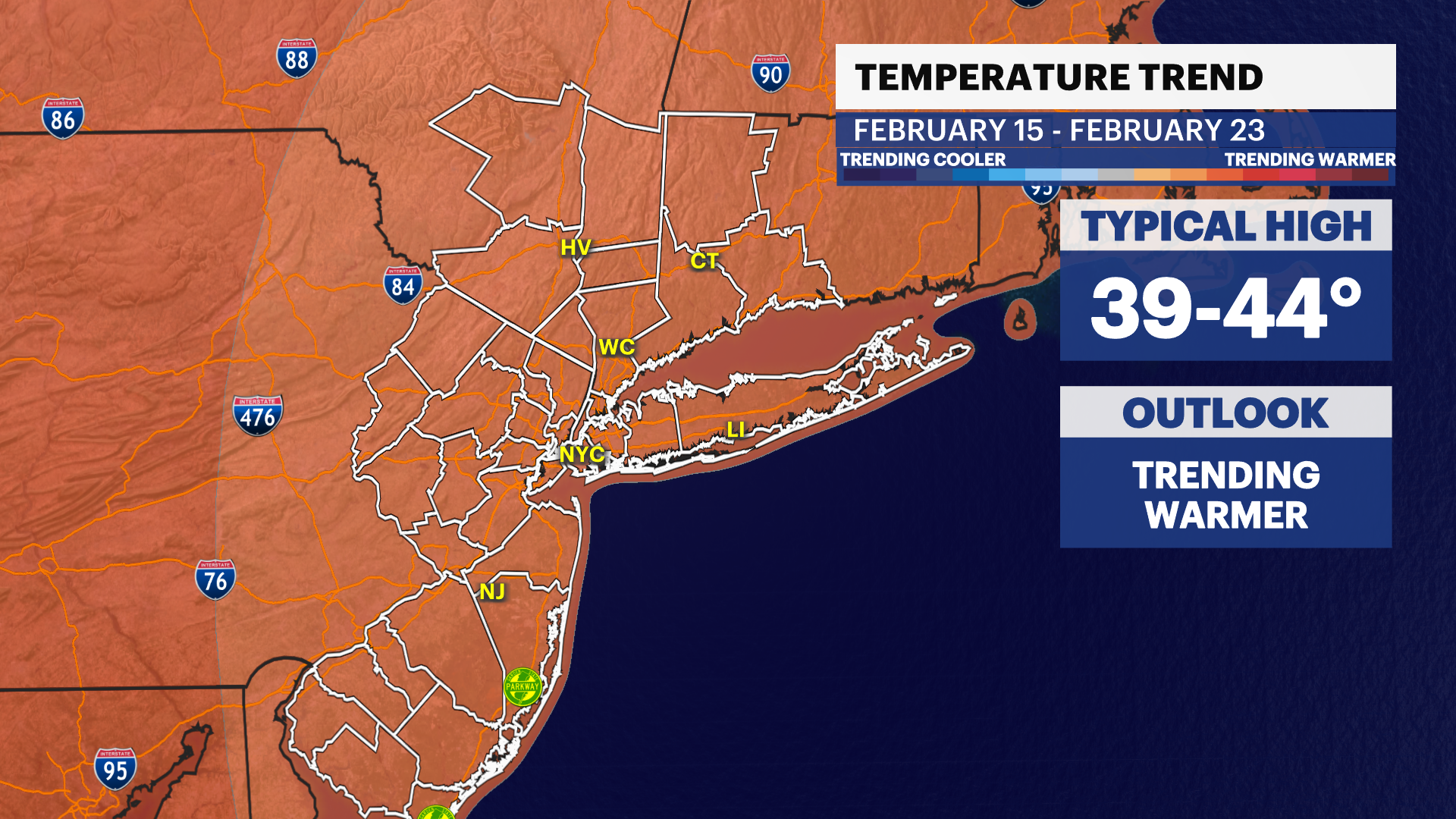
Major cool down into next week. Bitterly cold week ahead.
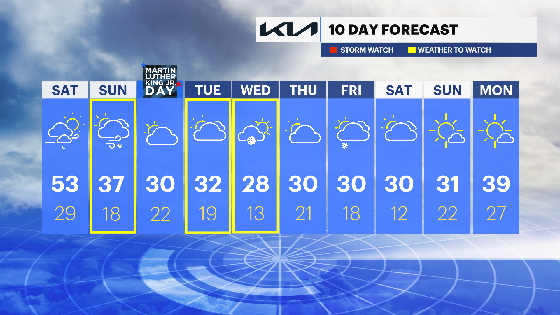
OVERNIGHT: Breezy, clear and cold. Low temperatures will be near 30 degrees.
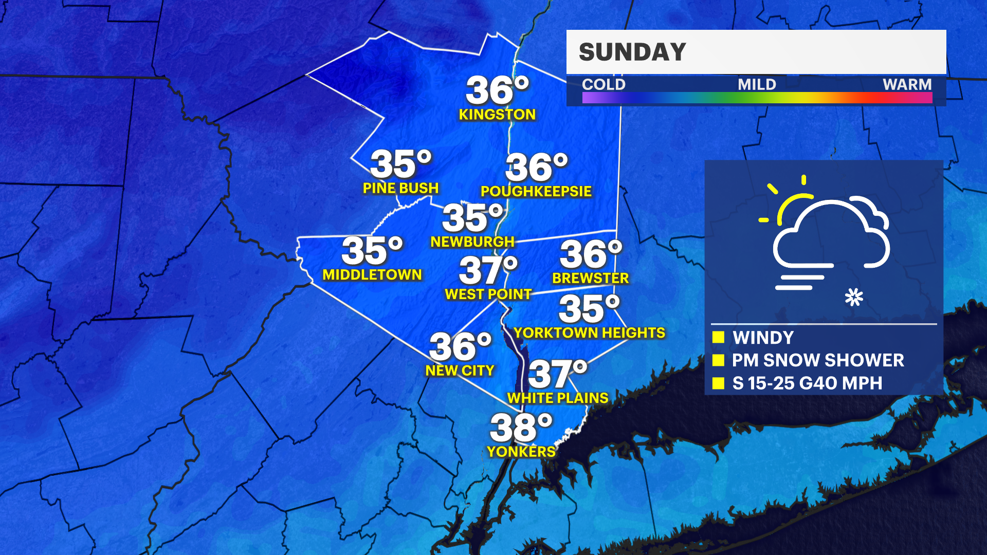
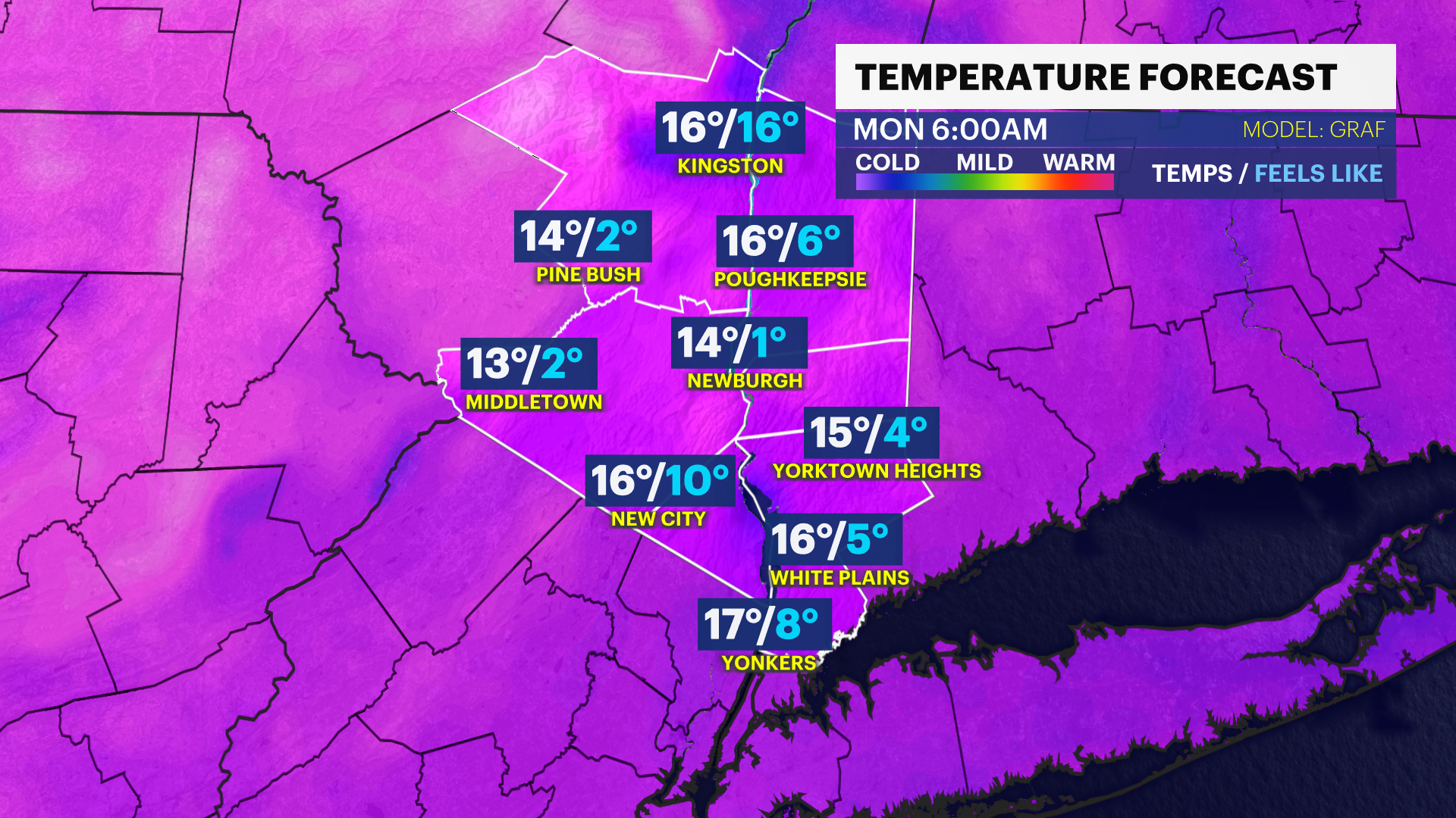
SUNDAY: Mostly cloudy, colder and windy. There is a chance for a snow squall to move through early afternoon impacting visibility. High temps will be near the upper 30s. Lows in the high teens but feels like the single digits overnight into Monday morning.
MONDAY MLK JR. DAY: Mostly cloudy, breezy and very cold in the morning. Highs in the low 30s. Lows in the high 20s.
TUESDAY: Mostly cloudy, cold with snow chances throughout the day and into the night. Highs in the low 30s. Lows near 20 degrees.
WEDNESDAY: Snow showers possible early in the morning. Then, partly sunny, colder, and breezy. Highs in the upper 20s. Lows in the low teens.